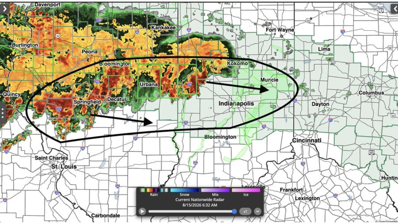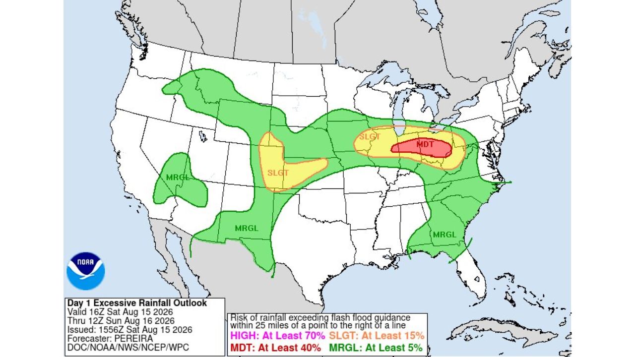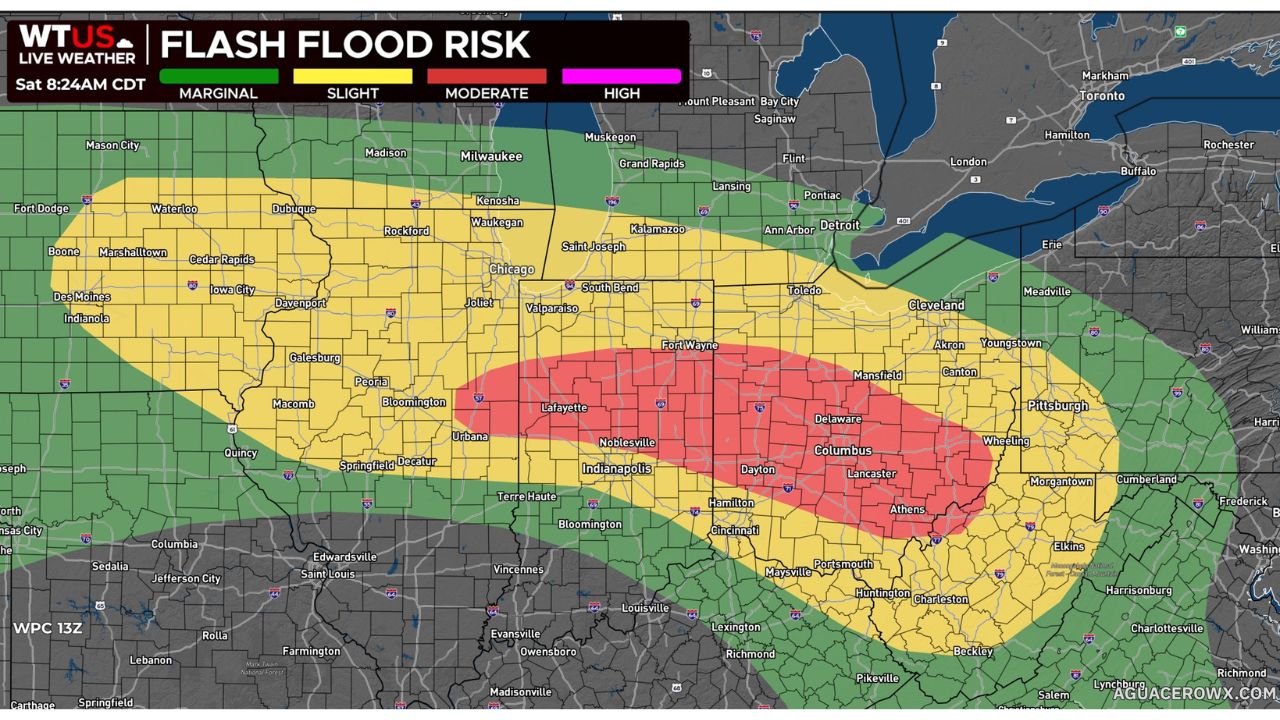
FORT WAYNE, Ind. — Significant flash flooding is likely across parts of Illinois, Indiana and Ohio today and tonight, with a Moderate Risk zone stretching from Lafayette through Fort Wayne, Columbus, Lancaster and Athens. Very saturated soils from repeated rounds of storms are making the region far more prone to flooding, with 2 to 4 inches of rain expected in some areas tonight.
- Highest risk (Moderate): a band running from Lafayette through Fort Wayne, Columbus, Delaware, Lancaster and Athens
- Slight risk: surrounds the Moderate zone, covering Chicago, South Bend, Indianapolis, Dayton, Cincinnati, Cleveland and Pittsburgh
- Rainfall expected: 2 to 4 inches in some areas tonight
- Key driver: soils already saturated from repeated rounds of storms
- Timing: today through tonight
- Snapshot forecast totals: Fort Wayne 2.4 inches, Athens 2.8 inches, Lancaster 1.5 inches, Newark 1.7 inches, Columbus 1.1 inches, Joliet 1.0 inch, South Bend 1.0 inch
The setup echoes a pattern that’s played out repeatedly across this same corridor in recent days: storms train over ground that hasn’t had time to dry out from the last round, so even rainfall totals that wouldn’t normally cause major problems can trigger fast, dangerous flooding. The forecast rainfall map shows some of the heaviest totals concentrated around Fort Wayne and southeastern Ohio near Athens, both sitting inside or near the Moderate Risk band.
As of this writing, this remains a forecast risk rather than a confirmed flooding event, and no flash flood warnings tied to tonight’s rain have been issued yet. This article will be updated as warnings are issued or confirmed flooding is reported.
If you encounter any flooded areas tonight, turn around, don’t drown, especially anywhere between Lafayette and Athens where the highest risk and heaviest rainfall totals overlap.
For more coverage like this, check back for the latest severe weather updates.