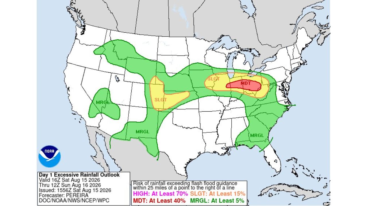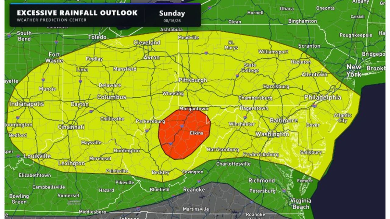
ELKINS, W.Va. — The significant flash flooding threat that has plagued the Ohio Valley for days shifts squarely onto West Virginia’s mountains Sunday, with a Moderate Risk zone centered on Elkins and Morgantown, surrounded by a much broader Slight Risk area stretching from South Bend and Fort Wayne through Columbus, Pittsburgh, Washington, D.C. and into Philadelphia and Richmond.
What Sunday’s Two-Wave Setup Shows
- Highest risk (Moderate): centered near Elkins, extending toward Morgantown and Parkersburg
- Broad Slight Risk zone: from South Bend and Fort Wayne through Columbus, Pittsburgh, Washington, D.C., Philadelphia and Richmond
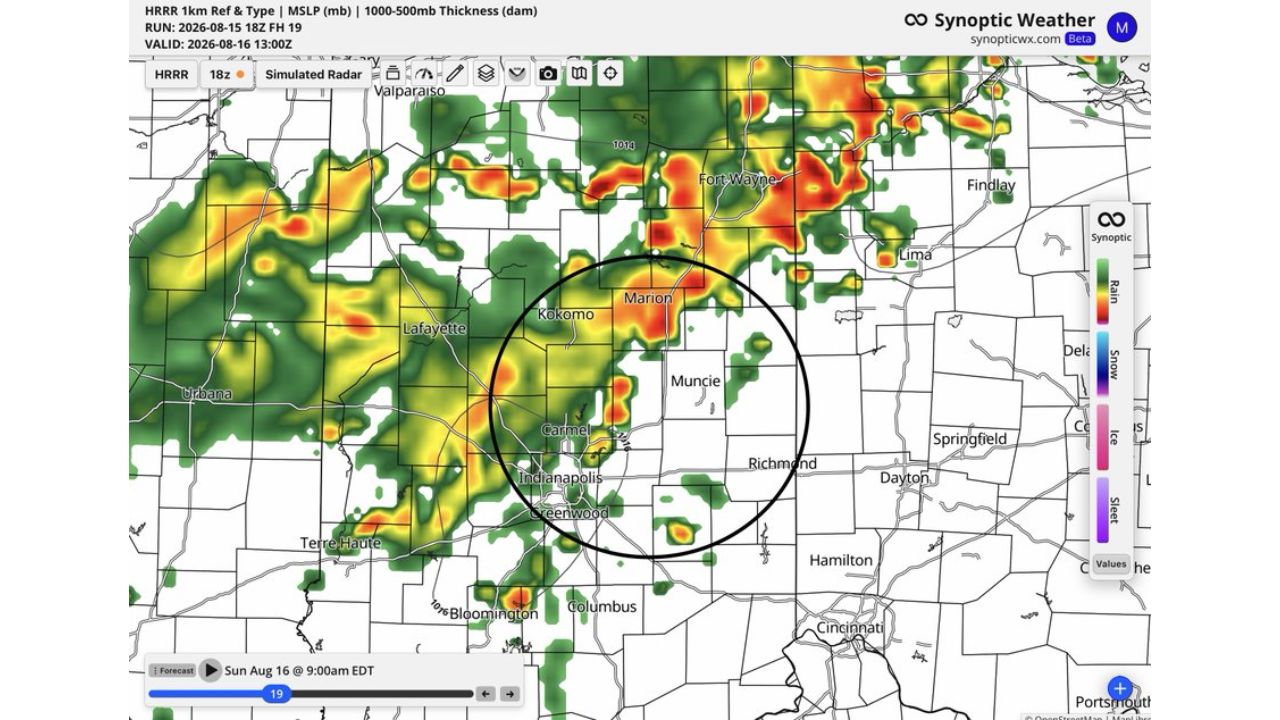
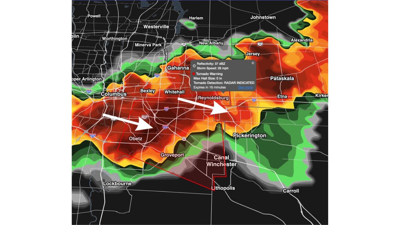
- Morning threat: heavy, localized training storms, similar to recent days elsewhere
- Afternoon/evening threat: a secondary wave ramping up ahead of an approaching cold front
- Rainfall potential: 1 to 3 inches, capable of triggering considerable flooding quickly
- Key vulnerability: mountains of West Virginia, where saturated soils from previous days offer little buffer
Why the Mountains Make This Round More Dangerous
What makes Sunday’s setup particularly concerning isn’t the rainfall total itself, 1 to 3 inches is far less than the double-digit totals parts of Illinois and Indiana saw earlier this week, but where it’s falling. In and around West Virginia’s mountains, steep terrain funnels rainfall quickly into narrow valleys and streams, meaning even a modest 1 to 3 inch total can trigger dangerous, fast-rising flooding far more readily than the same rain would on flatter ground. With soils already saturated from the same multi-day pattern that’s soaked the Ohio Valley, forecasters warned the second, faster-moving wave of storms this afternoon and evening could turn quick rainfall into considerable flooding with little warning.
What to Watch For as Sunday’s Two Rounds Develop
As of this writing, this is a forecast outlook for Sunday, Aug. 16, with the morning round of training storms expected first, followed by a secondary wave ahead of an approaching cold front later in the day. No flash flood warnings tied to this outlook have been confirmed yet. This article will be updated as warnings are issued or confirmed flooding is reported.
The Same Pattern, a New Set of Mountains
Sunday marks the latest stop for a flooding pattern that has repeatedly hammered the Ohio Valley over recent days, now shifting its most dangerous impacts onto the steep terrain around Elkins and Morgantown. With two separate rounds of storms expected and soils already saturated from earlier rain, residents throughout the West Virginia mountains are being urged to treat even modest rainfall totals as a serious flooding risk today.
For more coverage like this, check back for the latest severe weather updates.